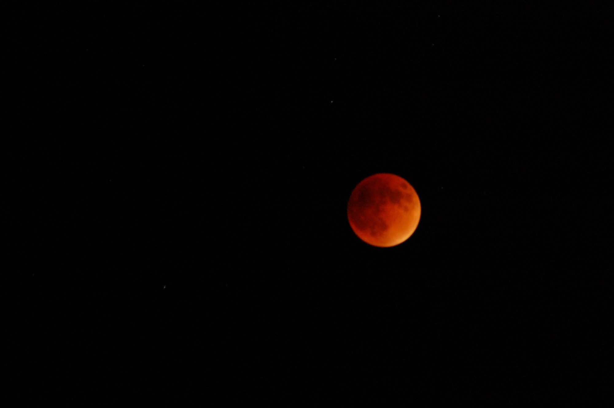
The Role of Remote Sensing in the Changing of Sky Colors By BylineEAL Salas on February 25, 2023March 10, 2023 Remote sensing is the science of acquiring information about the Earth’s surface and atmosphere using sensors that are not in direct contact with the object being observed. One of theContinue readingThe Role of Remote Sensing in the Changing of Sky Colors
Demands of Remote Sensing Dataset to Agriculture Applications By BylineEAL Salas on February 21, 2023February 21, 2023 Remote sensing is the process of collecting and analyzing information about the Earth’s surface without physically being present. Remote sensing technology involves the use of sensors and cameras mounted onContinue readingDemands of Remote Sensing Dataset to Agriculture Applications
What’s the Condition of Deforestation in the Philippines? By BylineEAL Salas on February 21, 2023February 21, 2023 Deforestation has been an ongoing issue in the Philippines for many years. The country’s forests have been dwindling rapidly due to a variety of reasons, including illegal logging, slash-and-burn agriculture,Continue readingWhat’s the Condition of Deforestation in the Philippines?
Generate Random Points Inside Irregular Raster Boundary Using R Code By BylineEAL Salas on February 15, 2023 We already have a code published here that could generate random points inside an irregular raster boundary using R. If you want another option, below is an R code toContinue readingGenerate Random Points Inside Irregular Raster Boundary Using R Code
R-Code to Map the Area Under the Curve From Reflectance Values Using Multispectral Satellite Image By BylineEAL Salas on February 9, 2023February 9, 2023 You must read the multispectral image data into R, extract the reflectance values for a particular band, perform a calculation on each pixel and map the results, then save theContinue readingR-Code to Map the Area Under the Curve From Reflectance Values Using Multispectral Satellite Image